Log in
All resources
Create a design
43,307 Free Images of Map Postcards
atlas map
bibliothèque nationale de france
maps of paris from bibliothèque nationale de france
turgot map of paris, bibliothèque nationale de france
maps of paris from the david rumsey historical map collection
atlas du canton de paris, 1795
composite map
david rumsey historical map collection
atlas des anciens plans de paris by imprimerie nationale, 1900 from the david rumsey historical map collection
1689 map of haarlem
atlas des anciens plans de paris by imprimerie nationale, 1900 from the david rumsey historical map collection
maps of paris from the david rumsey historical map collection
map collection of leibniz-institut für länderkunde
dheulland map of paris
map collection of leibniz-institut für länderkunde
dheulland map of paris
map collection of leibniz-institut für länderkunde
dheulland map of paris
satellite pictures of the eastern hemisphere
fra mauro map derivative works
maps of paris from the barry lawrence ruderman antique maps inc.
key sheet of the turgot map of paris
details of old maps of amsterdam
map of amsterdam, 1544
romanovs. portrait of dynasty (2013 exhibition, gim)
photographs in the moscow state historical museum
maps of paris from the norman b. leventhal map center
siege of paris, 1870-1871
maps of paris from the david rumsey historical map collection
romanticism
maps of paris from the david rumsey historical map collection
romanticism
airships of germany
north pole
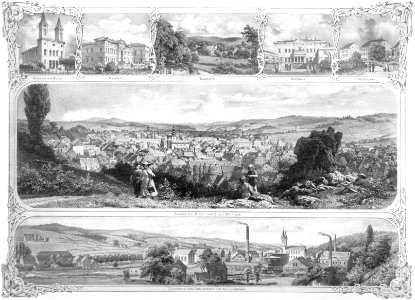
churches in wuppertal in art
postcards of barmen
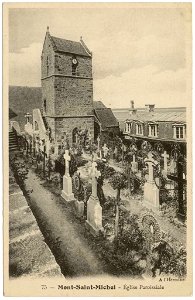
collections of archives départementales de la manche
postcards of mont saint-michel
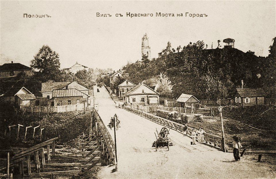
church of saint stefan in polack
historical images of polack
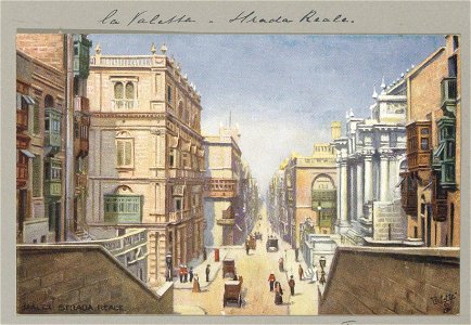
royal opera house (valletta)
malta in the 1900s
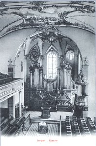
media contributed by kantonsbibliothek appenzell ausserrhoden
postcards of the canton of appenzell ausserrhoden
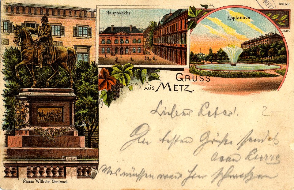
limédia galeries - allemagne
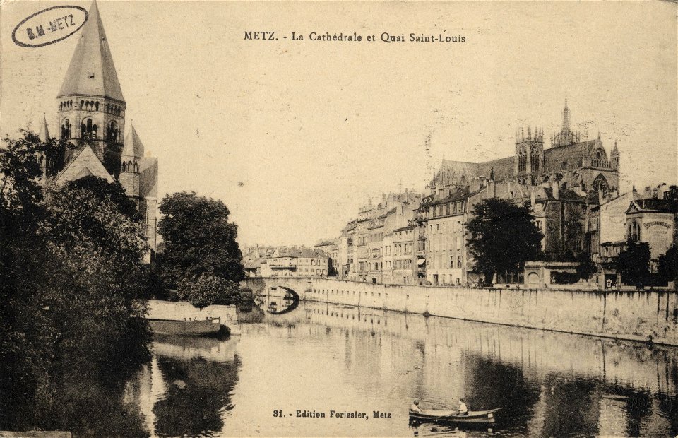
postcards of metz
turgot map of paris, bibliothèque nationale de france
maps of paris from bibliothèque nationale de france
turgot map of paris, bibliothèque nationale de france
maps of paris from bibliothèque nationale de france
turgot map of paris, bibliothèque nationale de france
maps of paris from bibliothèque nationale de france
turgot map of paris, bibliothèque nationale de france
maps of paris from bibliothèque nationale de france
turgot map of paris, bibliothèque nationale de france
maps of paris from bibliothèque nationale de france
turgot map of paris, bibliothèque nationale de france
maps of paris from bibliothèque nationale de france
turgot map of paris, bibliothèque nationale de france
maps of paris from bibliothèque nationale de france
turgot map of paris, bibliothèque nationale de france
maps of paris from bibliothèque nationale de france
turgot map of paris, bibliothèque nationale de france
maps of paris from bibliothèque nationale de france
turgot map of paris, bibliothèque nationale de france
maps of paris from bibliothèque nationale de france
turgot map of paris, bibliothèque nationale de france
maps of paris from bibliothèque nationale de france
turgot map of paris, bibliothèque nationale de france
maps of paris from bibliothèque nationale de france
turgot map of paris, bibliothèque nationale de france
maps of paris from bibliothèque nationale de france
turgot map of paris, bibliothèque nationale de france
maps of paris from bibliothèque nationale de france
turgot map of paris, bibliothèque nationale de france
maps of paris from bibliothèque nationale de france
turgot map of paris, bibliothèque nationale de france
maps of paris from bibliothèque nationale de france
turgot map of paris, bibliothèque nationale de france
maps of paris from bibliothèque nationale de france
turgot map of paris, bibliothèque nationale de france
maps of paris from bibliothèque nationale de france
turgot map of paris, bibliothèque nationale de france
maps of paris from bibliothèque nationale de france
turgot map of paris, bibliothèque nationale de france
maps of paris from bibliothèque nationale de france
15th-century maps of the iberian peninsula
15th-century maps of africa
david rumsey historical map collection
17th-century maps of iceland
fra mauro map details
1450s maps of europe
turgot map of paris, david rumsey historical map collection – derivative files
historical images of église saint-sulpice
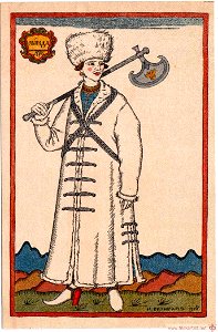
ermine (clothing) in art
fur caps in art
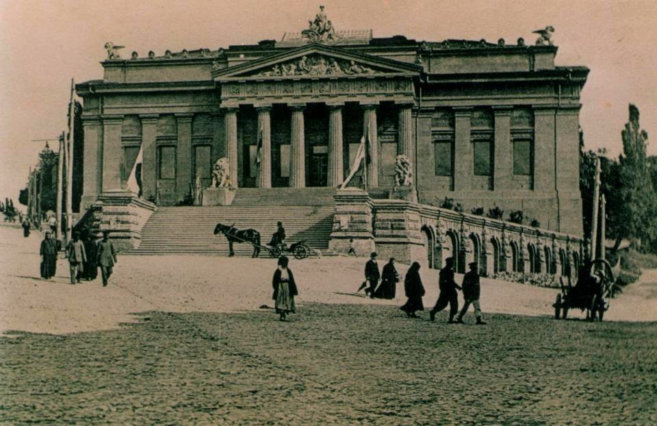
historical images of kyiv
postcards of kyiv
paintings in the william fehr collection
khoikhoi in art
sigismund's map of moscow
moscovia (region)
maps of paris from bibliothèque nationale de france
proletarian literature
turgot map of paris, david rumsey historical map collection – derivative files
reuilly (paris)
turgot map of paris, david rumsey historical map collection – derivative files
petit-gentilly
john rocque's 1746 map of london
history of london
cornelius aurelius world map
sigismund's map of moscow
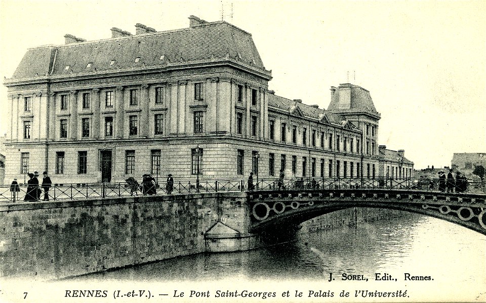
historical photographs of rennes
postcards of rennes
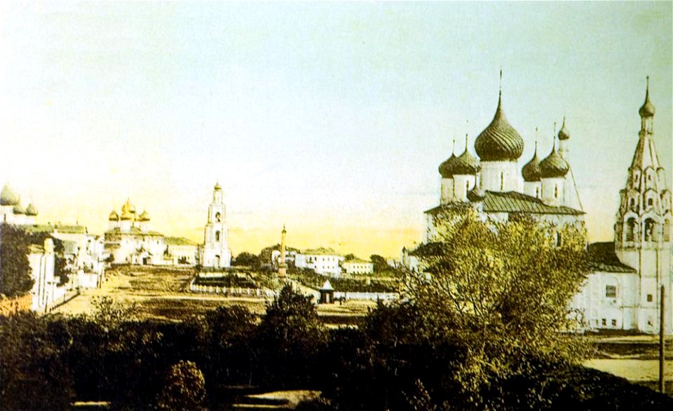
chelyuskintsev square in yaroslavl
yaroslavl
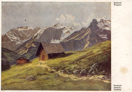
landscape paintings of salzburg (state)
20th-century landscape paintings
1747 persia map by emanuel bowen
details of old maps
1780s maps of the world
german renaissance
turgot map of paris, david rumsey historical map collection – derivative files
bastille
turgot map of paris, kyoto university library – derivative files
palais du louvre on old maps
atlas des anciens plans de paris by imprimerie nationale, 1900 from the david rumsey historical map collection
maps of paris from the david rumsey historical map collection
atlas des anciens plans de paris by imprimerie nationale, 1900 from the david rumsey historical map collection
maps of paris from the david rumsey historical map collection
map of amsterdam, 1544
stadsarchief amsterdam
1689 map of haarlem
1689 map of haarlem
1689 map of haarlem
dheulland map of paris
1689 map of haarlem
1689 map of haarlem
turgot map of paris, norman b. leventhal map center – derivative files
sheet 9 of the turgot map of paris
18th-century maps of greenland
greenland in the 18th century
turgot map of paris – derivative files
bastille
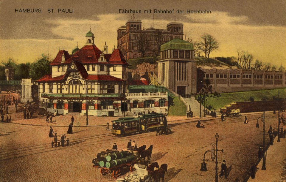
helgoländer allee (hamburg)
stintfang (hamburg)
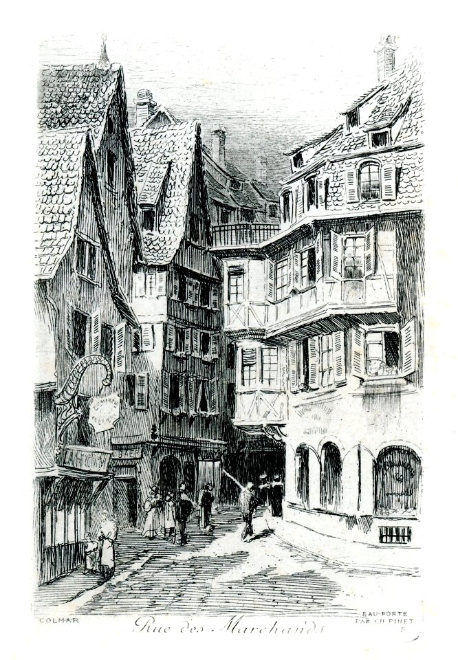
restaurant le fer rouge in art (colmar)
postcards of colmar by charles pinet
limédia galeries - barques
postcards of metz
maps of paris from the david rumsey historical map collection
baroque
maps of paris from the david rumsey historical map collection
baroque
may 2023 in venice
fra mauro map
bibliothèque nationale de france
propaganda map
bibliothèque nationale de france
propaganda map
turgot map of paris, norman b. leventhal map center – derivative files
couvent des annonciades (paris)
fra mauro map details
maps of paris from the david rumsey historical map collection
atlas du canton de paris, 1795
maps of paris from the david rumsey historical map collection
atlas du canton de paris, 1795
maps of paris from the david rumsey historical map collection
atlas du canton de paris, 1795
maps of paris from the david rumsey historical map collection
atlas du canton de paris, 1795
maps of paris from the david rumsey historical map collection
atlas du canton de paris, 1795
maps of paris from the david rumsey historical map collection
atlas du canton de paris, 1795
maps of paris from the david rumsey historical map collection
atlas du canton de paris, 1795
maps of paris from the david rumsey historical map collection
atlas du canton de paris, 1795
maps of paris from the david rumsey historical map collection
atlas du canton de paris, 1795
maps of paris from the david rumsey historical map collection
atlas du canton de paris, 1795
maps of paris from the david rumsey historical map collection
atlas du canton de paris, 1795
turgot map of paris, norman b. leventhal map center – derivative files
rue de braque on maps
sheet 18 of the turgot map of paris
sheet 19 of the turgot map of paris
magni ducatus lithuaniae
red ruthenia
jodocus hondius ii, nova totius terrarum orbis geographica ac hydrographica tabula, 1636
eran laor cartographic collection
john rocque's 1746 map of london
devonshire house piccadilly
1794 rocque wall map of ireland
county clare
fra mauro map by sector
fra mauro map by sector
5401 - 5500 of 43,307
Next page
/ 434